

In 1986, when American forces attacked Libya, in 2002 when Iraq was invaded, or in 2014 when Syria was targeted — the United States has repeatedly tried to reshape the fate of the Middle East whenever it wanted.
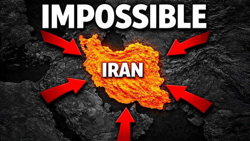
But there is one country that has remained outside their control for decades: Iran.
Even today, the United States and Israel are trying to find cracks in Iran’s fortress. However, this will not be easy. History shows that for the past 600 years, not even one inch of Iran’s borders has significantly shifted.
Whether the attackers were the Romans, Arabs, Turks, Russians, or the British Empire, Iran has repeatedly proven that it has the strength to withstand even the biggest invasions.
So what is the secret behind this strength?
What makes Iran different from other Arab countries and so resilient?
First, let's talk about the gift of nature that Iran has received.
If Iran had to be described in one sentence, it would be a giant fortress — a fortress whose walls were not built by humans but by nature itself.
The country is surrounded by mountains on almost every side.
To the south lies the Zagros Mountains, a massive mountain chain that acts like a wall against enemies coming from the south. Toward the southwest these mountains gradually slope toward Iraq, but toward the northwest they become extremely steep and high, forming a nearly impossible border with Turkey.
Where there are no mountains, there are marshlands, especially where the Tigris River and Euphrates River meet. These marshes act as a natural barrier, much like a deep moat in front of a fortress.
In the north, near the Caspian Sea and Azerbaijan, the Alborz Mountains provide protection.
To the east, smaller mountain ranges wrap around Iran like a ribbon, forming borders with Afghanistan and Pakistan.
In short, Iran is surrounded by mountains that protect it like a fortress, while the Persian Gulf forms the final wall in the south.
If someone tries to invade from the Persian Gulf, they must face mountains up to 1.5 km high, stretching about 250 km inland.
Geography plays a crucial role in conquering any country.
Just as the mountains helped protect Afghanistan against both the Soviet Union and the United States, these mountains are equally important for Iran’s defense.
Because of these natural barriers, many attempts to conquer Iran in the past 600 years have failed.
Inside Iran there are also two massive deserts:
Dasht-e Kavir and Dasht-e Lut.
These deserts are so barren that people are forced to live mostly in mountainous regions. Out of Iran’s roughly 90 million population, most live in these mountainous areas.
For any invading army, entering Iran and controlling it becomes extremely difficult due to logistical challenges, narrow routes, supply problems, and harsh weather.
But there is another side to the story.
The same mountains that protect Iran also limit its expansion. Historically, whenever Iran tried to expand westward, these mountains became obstacles.
That is why Iran often relies on proxy groups instead of direct warfare to maintain influence in the region. Examples include:
Hezbollah in Lebanon
Houthis in Yemen
Resistance groups in Iraq
Hamas and Palestinian Islamic Jihad in Palestine
Another strategic advantage for Iran is the Strait of Hormuz.
The entire northern coast of the Persian Gulf belongs to Iran, while the southern side is shared by Iraq, Kuwait, Saudi Arabia, Bahrain, Qatar, United Arab Emirates, and Oman.
This narrow passage controls one of the most important energy routes in the world.
Around 20% of the world’s oil and 90% of Qatar’s LNG pass through the Strait of Hormuz. If Iran blocks this passage, it could put pressure not just on Gulf countries but on the entire global economy.
Iran also has a long coastline of about 2,815 km along the Caspian Sea and the Persian Gulf.
Unlike many coastlines that lead to flat beaches, Iran’s coasts are surrounded by mountains. Hidden missile bases and blind spots in these areas make it extremely difficult for enemies to detect or attack.
Even if an enemy lands on the coast, they would immediately face mountains where surprise attacks could occur.
Another factor is Iran’s multi-ethnic society.
The country includes Persians, Azeris, Kurds, Arabs, Baloch, and Turkmen among others. Managing such diversity is difficult, as each group wants to protect its language, culture, and rights.
However, about 95% of Iran’s population is Shia Muslim, and historically when the country faces an external threat, these groups unite.
A clear example is the Iran–Iraq War.
In September 1980, Saddam Hussein believed Iran was weak after the Iranian Revolution. He launched an invasion expecting a quick victory.
Instead, the war lasted 8 years. Despite early Iraqi advances, Iran eventually reclaimed its territory. Millions were affected, and after years of fighting Iraq gained no land.
Finally, Iran’s biggest weapon is its size.
The country covers about 1.6 million square kilometers, large enough to fit roughly two countries the size of Pakistan.
Even if an enemy crosses the border, reaching major cities like Tehran, Isfahan, or Mashhad requires traveling deep inside the country.
This is called strategic depth:
the deeper an enemy moves, the longer and weaker their supply lines become.
In many ways, Iran’s land itself acts like a silent guardian, using time and geography as its greatest weapons.
About the Creator
Imran Ali Shah
🌍 Vical Midea | Imran
🎥 Turning ideas into viral content
✨ Watch • Share • Enjoy
Keep reading
More stories from Imran Ali Shah and writers in History and other communities.
The Year 1965 in Review: Fun Facts, Trivia, and Historic Highlights
This quick read is a collection of fun facts, trivia, and historical events from the year 1965. Discover the year’s top news stories, most influential people, sports facts, historic firsts, entertainment trivia, and much more.
By Gregory DeVictor5 days ago in History
Why Didn't Anyone Tell Us
Men, move along. This is not for you. This is for the women. I was forty-five when I began menopause. It is pretty young for that to be going on in a woman’s life, but I had undiagnosed PCOS, my entire life. Thank you to all the gynecologists I had seen my entire life. That in itself should encourage women to keep seeking second opinions, especially when you are not getting correct answers or any at all.
By Alexandra Grant3 days ago in Humans


Comments
There are no comments for this story
Be the first to respond and start the conversation.